Hiking trail Lezaun beech grove
| Longitud | Desnivel | Duración | Apto | Señalización |
|---|---|---|---|---|
| 9,61 km | 570 mt | 1:31 H | A pie, BTT o a caballo, sin dificultad | PR NA - 183 |
A tour of Lezáun village that shows us the diversity of the flora and fauna with landscapes and corners of great beauty.
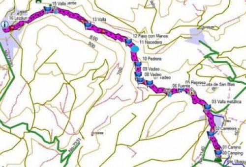
We start the tour from the plaza of the Lezáun Town Hall where we can park easily. The route is shaped in the form of a racquet. We start the trail going down a path that is good and firm with a steep slope.
We leave behind several cattle farms and we find on our way vegetation switching between the Atlantic and Mediterranean climates, with notable competition between the beech and holm oaks on the terrain.
Further ahead we cross a beautiful beech grove that is given to this trail. Over the course of the ascent we can find some waterholes.
At the end of the beech grove we arrive at the “portal de Inaroz” or “el Raso”, an area that only has pastures, with curious limestone formations and stone walls. The summit has good views: Aitzgorri, Dulantz, the Lozkiz and Codés mountain range, the Chapel of Trinity (although it is not in our path, it is worth the effort to walk the 1,500 metres that separates it from our tour); to the south Montejurra, Monjardín and Sierra de Cameros and on a clear day, you can even see Moncayo.
We begin the descent through the flat that leads us to Lezáun at the end of the route.
Complete description of the route
Kilometre 0
We depart from the plaza of the Town Hall, in the upper part of the town where we take a dirt and stone track. On both sides of the track we can see pig farms (on the surface we can see symptoms of overgrazing).
Kilometre 0.142
We cross a metal gate, leaving the water tank on our left; continuing straight. At the fork: we ignore the path to the left at kilometre 1.053. Eyes straight ahead, in the distance, we can see Trinidad of Iturgoyen. We can also see the first beeches amongst holm oaks (kilometre 1.270) which determines the Atlantic-Mediterranean transition. Little by little the path enters into the beech grove and you can see magnificent examples of beech trees.
Kilometre 1.7
The waterhole to the left on ground higher than the trail may go unnoticed. We ignore the paths to the right.
Kilometre 2.283
Waterhole to the right. Poor road conditions with deep holes which run parallel to the ravine.
Kilometre 2.463
You can see another waterhole going upstream. You can appreciate the capricious limestone formations in this enclave, as well as the existence of a stone wall that marks the milestone between Lezáun and Iturgoyen.
Kilometre 4.538
The path becomes blurred on the flat. We ascend by the pastures until we run into the stone wall marked “I amuga”. Once at the wall, we turn left and follow the trail that takes us to Lezáun (there is an area where you cannot see the trail however, you can guess where it is by the marks left by four wheel dives) firstly crossing the plain and later descending little by little. Beautiful views up high: the northwest part of the Aitzgorri mountain range, the Dulantz mountain to the east and to the south Montejurra, Monjardín, La Sierra de Cameros (in the Rioja region) and on clear days you can even see Moncayo.
Kilometre 9
We converge, after a steep descent, to the initial path we took and arrive at Lezáun.